INSPIRE Geoportal
Description
The INSPIRE Georportal serves as the primary entry point for central European nations, including EU Member States and some EFTA countries, to access data in accordance with the INSPIRE Directive. The primary objective of the INSPIRE Directive is to establish a geographic data infrastructure inside the European Union. This infrastructure is intended to support the implementation of EU environmental policies, as well as policies and activities that may potentially influence the environment. The European Spatial Data Infrastructure (ESDI) aims to improve the exchange of environmental spatial data across public sector entities, enhance public accessibility to geographical information throughout Europe, and support cross-border policy formulation.
The INSPIRE initiative is founded upon the geographic information infrastructures that have been developed and are now being administered by the European Union's Member States. The Directive pertains to a comprehensive set of 34 geographical data topics that are essential for the purpose of environmental applications.
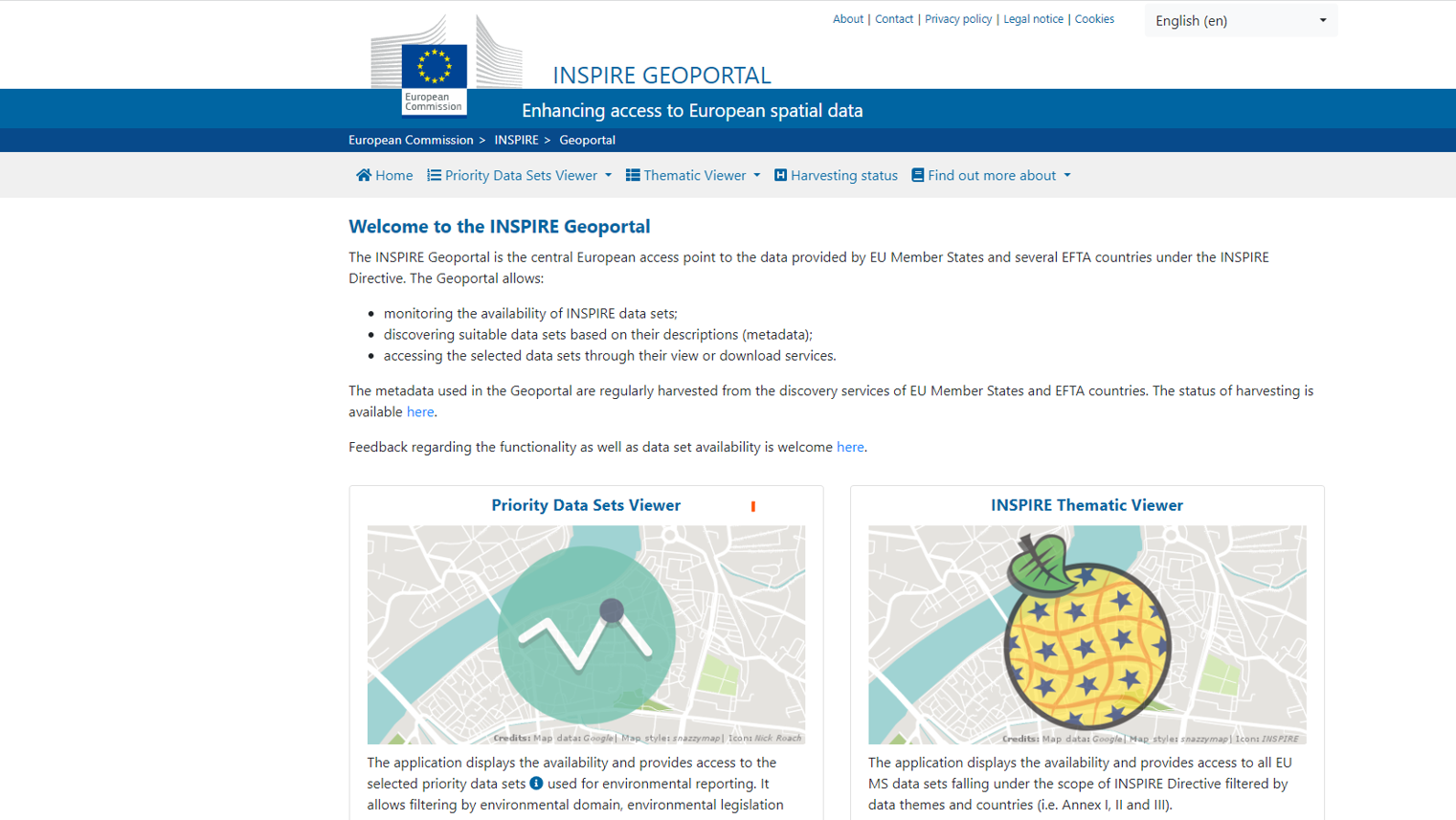
The INSPIRE Geoportal presently facilitates the utilization of two primary applications:
The Priority Data Sets Viewer is a tool that exhibits the accessibility and facilitates the retrieval of specific priority data sets utilized for environmental reporting, as outlined in Action 2016.5 of the MIWP 2016-2020. On the other hand, the INSPIRE Thematic Viewer is a platform that showcases the availability and enables the retrieval of all data sets contributed by European Union Member States and European Free Trade Association (EFTA) countries in accordance with the INSPIRE Directive. Additionally, it allows users to filter the displayed data sets based on themes and countries.
Gallery

Classifications
Scale of implementation
INSPIRE is designed to be used at various scales, from individual users seeking data for a specific location to businesses, organizations, governments, and environmental domains. All of them need to easily share and use spatial data for making the right decisions about the environment and well-being in a timely manner.
Type
INSPIRE Geoportal can be accessed through a web browser and does not require any installation or local software setup.
Phase of solution
INSPIRE can be used in any phase of solution, especially during the research and programming of a task.
Target audience
INSPIRE is an efficient way to share European spatial data. Government authorities, businesses and citizens can easily share and use spatial data for making the right decisions about the environment. Policymakers, researchers, data scientist as well as IT developers can be the target audience, as they use spatial data every day.
Key features-functionality
The INSPIRE Geoportal platform offers a range of essential features and functionalities, which encompass:
- Monitoring the Availability of INSPIRE Data Sets: The Geoportal enables users to continually track the status and accessibility of INSPIRE datasets.This encompasses a continuous and real-time surveillance mechanism that informs users of the current availability status of datasets. Such monitoring ensures that users are promptly apprised of any temporal unavailability or disruptions, allowing for efficient planning and utilization of geospatial data resources.
- Discovering Suitable Data Sets Based on Their Descriptions (Metadata): The Geoportal facilitates the expedient and comprehensive exploration of pertinent datasets through a meticulous examination of metadata descriptions. Metadata, in this context, serves as an exhaustive and structured repository of information regarding each dataset's attributes.
- Accessing the Selected Data Sets Through Their View or Download Services: Upon the identification of the requisite datasets, the Geoportal extends the courtesy of seamless access through both viewing and downloading services. Users are afforded the option to directly visualize datasets through intuitive viewing interfaces, thereby facilitating preliminary assessments and analyses. Simultaneously, users can opt to acquire datasets through downloadable formats, a fundamental feature supporting in-depth and customized analyses, integration with third-party applications, or further utilization as deemed necessary. This multi-faceted accessibility mechanism ensures that INSPIRE data is readily available for informed decision-making, research, and applications of geospatial significance.
References & Sources for Further Reading
- INSPIRE Geoportal platform, https://inspire-geoportal.ec.europa.eu/