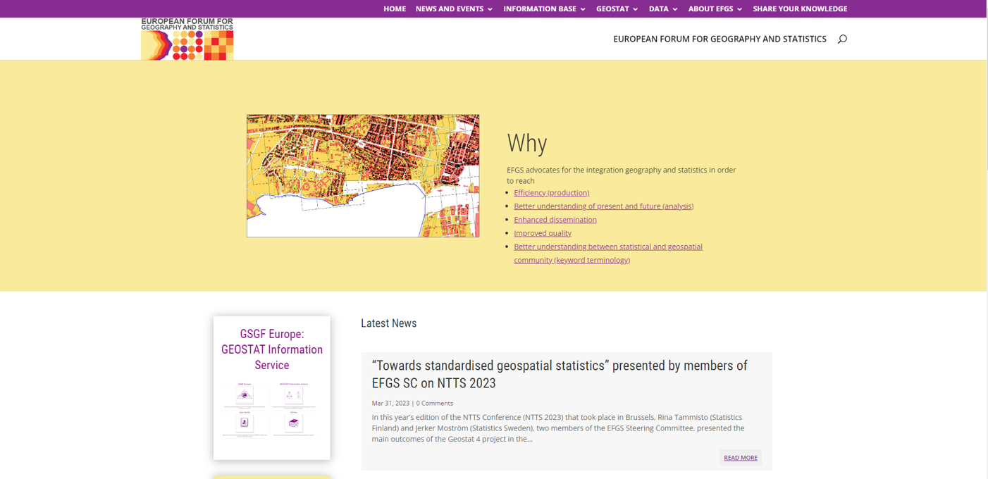
European Forum for Geography and Statistics (EFGS)
Description
The European and Global Forum for Geography and Statistics (EFGS) promotes spatial statistics built on well integrated geography and statistics. The main goal is to promote the integration of statistical and geospatial information and the use of geospatial information in decision making.
The European Forum for Geography and Statistics (EFGS) was established in 1998 as a collaborative initiative among the National Statistical Institutions (NSIs) of the Nordic nations. Its primary focus was on the utilization of geographic information systems (GIS) in conjunction with statistical analysis.
Currently, the EFGS organization boasts a comprehensive network of national contact persons hailing from over 40 states and territories. These individuals actively participate in yearly conferences and meetings organized by the organization. The primary focus of the European Forum for Geography and Statistics, formerly known as the European Forum for Geostatistics, is centered on the advancement of optimal methodologies in geostatistical production throughout Europe.
The first GEOSTAT project was launched at the beginning of 2010 by Eurostat in cooperation with the European Forum for Geopraphy and Statistics (EFGS), to promote grid-based statistics and more generally to work towards the integration of statistical and geospatial information in a common information infrastructure for the EU.
Membership in the organization does not entail any specific obligations, with the exception that national contact people must be employed by either National Statistical Institutes or National Mapping or Cadastral Agencies.

Gallery

Classifications
Scale of implementation
The European Forum for Geography and Statistics (EFGS) primarily operates at a regional or continental level, focusing on Europe. Its scale of implementation is primarily European in scope. EFGS serves as a platform for collaboration and cooperation among European countries, national statistical institutes (NSIs), national geographical agencies, and related institutions.
Type
EFGS is an entity that organizes events, conferences, seminars, workshops, and other activities where professionals and experts in the fields of geography and statistics can meet, share knowledge, and discuss best practices.
Phase of solution
EFGS provides an integrated and interoperable common method for geospatially enabling statistics and managing geospatial information at all stages of statistical production. It connects spatial information that describes natural environment and environmental attributes. This framework has already proven useful for the 2030 Agenda for sustainable development.
Target audience
EFGS targets professionals and organizations engaged in statistical and geospatial data integration across Europe. This audience encompasses national statistical institutes, geographical agencies, researchers, policymakers, data professionals and stakeholders interested in leveraging geography and statistics for data-driven decision-making and research field.
Key features-functionality
Some of its key functions and features are:
- Conferences and Workshops: EFGS organizes conferences, workshops, and seminars where professionals from national statistical institutes and geographical agencies come together to share knowledge and best practices.
- Knowledge Sharing: The organization facilitates the exchange of ideas and expertise among its members and participants, particularly in the areas of geospatial data and statistical analysis.
- Advocacy: EFGS advocates for the integration of geographical information with statistical data, emphasizing the importance of this integration in decision-making and policy development.
- Collaboration: It serves as a platform for collaboration between European countries, international organizations, and relevant stakeholders involved in geography and statistics.
- Networking: EFGS offers networking opportunities for professionals and organizations with a shared interest in the fields of geography and statistics.
- Information Sharing: It provide resources and publications related to the integration of geographical information into statistical processes.
